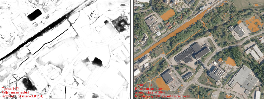
Tekoälyllä tunnistettu paljas maa pääkaupunkiseudulla
WFS interface
From the dataset abstract
Land cover mapping of bare land in Helsinki Metropolitan Area using AI. The pixel values represent the probability that the pixel is bare land, and they range between 0 and 254. Pixel values above 127 can be considered bare land. The spatial resolution is 20 cm and coordinate system is ETRS-TM35. Pixel classification is based on orthophotos and point clouds from National Land Survey of Finland (2020). The convolutional neural network used in production was developed by Scalgo ApS.
Short documentation (Mapping bare land for Greater Helsinki Region).
Source: Tekoälyllä tunnistettu paljas maa pääkaupunkiseudulla
Preview
Additional information
| Format | WFS |
|---|---|
| Temporal Coverage | - |
| Data last updated | 3 March 2022 |
| Metadata last updated | 13 September 2022 |
| Created | 3 March 2022 |
| SHA256 | - |
